
September 2022

It's been a Shipley's kind of afternoon.
The forecast looks dry and boring for the next 2 weeks.

That sure DE-escalated quickly!!Cpv17 wrote: ↑Wed Sep 07, 2022 5:13 pmYeah the SOI started going positive again. Back to a boring weather pattern. That CPC forecast for September calling for above normal rain probably isn’t going to verify.Stratton20 wrote: ↑Wed Sep 07, 2022 4:37 pm Last day of “widespread “ rain chances before ridging dominates our weather again, next 10-12 days look dry, can we just skip to winter please?
A week ago, we were looking at 10 days+ of good soaking rains. We were getting concerned about the creeks and bayous finally starting to cause some flooding concerns.
I almost fertilized.
Look what we got and look what's coming...
Amazing how heavy rain forecasts very rarely materialize, but doom and gloom heat domes you can bet every cent you have they will absolutely happen.
-
Stratton20
- Posts: 4248
- Joined: Tue Feb 09, 2021 11:35 pm
- Location: College Station, Texas
- Contact:
Yep its a joke lol, back to hot and dry for the next 2 weeks, same old same old
-
Stratton20
- Posts: 4248
- Joined: Tue Feb 09, 2021 11:35 pm
- Location: College Station, Texas
- Contact:
The latest EPS weeklies suggest we are going to stay dry through the rest of September and into the first week of October… And above normal temps as well, this weather sucks, more specifically texas weather does
Well, Im ready to dry out some. Im good with the rain we've had.
At least the dewpoint is lower this afternoon and feels drier. Also, low 90s sure beats > 100°F.
The main bad news is running the sprinklers again next week. We're only a month away from brown patch season.
Time to put down more sulfur pellets, pre-emergence, and stock up on fungicide.
Horticulture in the Brazos Valley: it's not for the faint of heart!
The main bad news is running the sprinklers again next week. We're only a month away from brown patch season.
Time to put down more sulfur pellets, pre-emergence, and stock up on fungicide.
Horticulture in the Brazos Valley: it's not for the faint of heart!
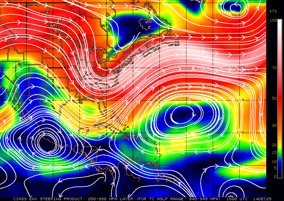
We still have that old boundary in the GoM
Anything? Anything? Buehler?

Anything? Anything? Buehler?
That line seems to be along the jet stream...so unless the trough and STJ move this way...we we'll have Northerly flow and dry conditions...
-
Stratton20
- Posts: 4248
- Joined: Tue Feb 09, 2021 11:35 pm
- Location: College Station, Texas
- Contact:
DoctorMu the ICON does try to close off a low from that energy down in the BOC, drifts it north towards texas
- Attachments
-
-
TexasBreeze
- Posts: 942
- Joined: Sun Sep 26, 2010 4:46 pm
- Location: NW Houston, TX
- Contact:
Even the gfs shows some increased moisture down there next week, but most of it goes west into Mx.
Nice little surprise storm slammed the house and is barreling towards my commute home.
Fair enough.Stratton20 wrote: ↑Wed Sep 07, 2022 5:09 pm user:null i dont care about the rain as ive gotten plenty of it, i just want those colder temps, im over these 90 degree temps lol
I think I've seen Larry Cosgrove mention earlier that he believes that the recent oddities with the weather patterns (i.e. weak Atlantic season, etc) argue against the "triple dip" La Nina, instead supporting more neutral/El Nino conditions — that could portend to some changes later in fall into winter.
-
tireman4

- Global Moderator

- Posts: 4480
- Joined: Wed Feb 03, 2010 9:24 pm
- Location: Humble, Texas
- Contact:
XUS64 KHGX 091010
AFDHGX
Area Forecast Discussion
National Weather Service Houston/Galveston TX
510 AM CDT Fri Sep 9 2022
...New SHORT TERM, LONG TERM, AVIATION, MARINE...
.SHORT TERM...
(Today through Saturday Night)
Issued at 507 AM CDT Fri Sep 9 2022
Light winds, residual moisture and a weak stalled boundary have
led to patchy (low-lying) fog, generally across our southwestern
counties early this morning. Fog is expected to lift/disappear
shortly after sunrise.
A relatively dry and warm day is on tap for Southeast TX today. An
upper level low centered over the Lower MS Valley and a ridge to our
west will continue to provide drier/sinking air into the region
today. Despite drier air at mid to upper levels, a few thunderstorms
cannot be ruled out this afternoon with diurnal heating and
seabreeze interaction. Have kept POPs at 15-25 percent mainly
over the coastal counties. Highs will once again climb in the low
to mid 90s. With a drier airmass in place and mostly clear skies,
sfc dewpoints are expected to mix out throughout the day. This
will result in comfortable mornings, at least across our northern
counties. Upper-level ridge overhead will bring even drier
conditions for Saturday with little to no precipitation. Highs
will generally range in the 90s, overnight lows from the upper 60s
(north I-10) to low 70s (south I-10). 05
&&
.LONG TERM...
(Sunday through Thursday)
Issued at 507 AM CDT Fri Sep 9 2022
Sun will feature the possibility of a weak cold front into SE TX
but with little change with our sensible weather parameters. The
track of the mid/upper low to the N/NE and its subsequent merger
with another shortwave over the Northern Plains on Sat will help
usher in a more pronounced (and deepening) northerly flow on its
backside across much of the state by Sun. While not text-book in
terms of FROPAness (i.e. little to no CAA), a slightly drier air
mass should begin filtering into the CWA for Sun/Mon. Chances of
rain will remains closer to the coast but temperatures are going
to be tricky. Will keep with previous forecast trends of slight-
ly above NBM numbers for Sun and Mon which translates to mid and
upper 90s for western portions of the CWA...lower to mid 90s for
other locations.
With the mid/upper ridge building over the Southern Plains by the
middle of next week, the forecast for SE TX will likely return to
a more summer-like pattern. Low POPs near/along the coast via the
sea breeze along with highs in the lower to mid 90s and lows from
the lower 70s inland to the upper 70s at the coast. 41
&&
.AVIATION...
(12Z TAF Issuance)
Issued at 507 AM CDT Fri Sep 9 2022
Areas of fog will continue to develop along and west of SGR and LBX
terminals through early morning. Otherwise, VFR conditions are
expected today with light east to northeast winds. A wind shift to
the south-southeast is possible across the coastal terminals with
the seabreeze. Isolated thunderstorms will be possible this
afternoon, mainly south of I-10. Given low confidence in occurrence
and coverage, have only included VCTS. Light and variable winds and
patchy fog will once again be possible tonight. 05
&&
.MARINE...
Issued at 507 AM CDT Fri Sep 9 2022
Isolated to scattered storms will linger over the coastal waters
and bays today with chances decreasing tonight. Otherwise, winds
will remain light...generally driven by the diurnal interactions
of the land breeze at night (offshore) and the sea breeze during
the day (onshore) today through the weekend. Models are indicat-
ing the possibility of a weak cold front/wind shift for the bays
and nearshore waters on Mon. 41
&&
.PRELIMINARY POINT TEMPS/POPS...
College Station (CLL) 94 69 94 70 / 10 10 0 0
Houston (IAH) 92 71 93 72 / 20 20 10 10
Galveston (GLS) 91 78 89 79 / 20 20 10 10
&&
.HGX WATCHES/WARNINGS/ADVISORIES...
TX...None.
GM...None.
&&
$$
SHORT TERM...05
LONG TERM....41
AVIATION...05
-
tireman4
- Global Moderator
- Posts: 4480
- Joined: Wed Feb 03, 2010 9:24 pm
- Location: Humble, Texas
- Contact:
&&
.AVIATION...
(18Z TAF Issuance)
Issued at 1233 PM CDT Fri Sep 9 2022
VFR conditions are expected to prevail through the duration of the
TAF period. A few isolated showers and storms may develop later
this afternoon, but coverage is not expected to be sufficient to
warrant inclusion in the TAFs with development inhibited by the
continued presence of dry air aloft. A few instances of patchy fog
are possible overnight, most likely at typically prone terminals
such as CXO. Light north winds and scattered clouds are expected
tomorrow.
Cady
Dewpoints of 61°F, 62°F the last 2 days during the daytime. I am really enjoying the drier air mixing in with the slight NE breeze here in CLL.
It looks like a dry, reinforcing "FROPA" early week per Euro, GFS, CMC in agreement. CMC sees a front with some moisture the following Monday 9/19. Otherwise, fuhgettaboutit!
It looks like a dry, reinforcing "FROPA" early week per Euro, GFS, CMC in agreement. CMC sees a front with some moisture the following Monday 9/19. Otherwise, fuhgettaboutit!
-
redneckweather
- Posts: 1023
- Joined: Mon Feb 08, 2010 7:29 pm
- Location: Montgomery, Texas
- Contact:
Calling it now. No hurricanes for the rest of the season for the Texas coast. The tropical season feels non existent this year for sure.
The only thing worse than the weather is this Aggie offense right now. Woof.
-
Stratton20
- Posts: 4248
- Joined: Tue Feb 09, 2021 11:35 pm
- Location: College Station, Texas
- Contact:
redneckweather way too soon to say that