
December: New Years Eve Outlook
-
srainhoutx

- Site Admin

- Posts: 19616
- Joined: Tue Feb 02, 2010 2:32 pm
- Location: Maggie Valley, NC
- Contact:
12Z Euro:
- Attachments
-
Carla/Alicia/Jerry(In The Eye)/Michelle/Charley/Ivan/Dennis/Katrina/Rita/Wilma/Humberto/Ike/Harvey
Member: National Weather Association
Facebook.com/Weather Infinity
Twitter @WeatherInfinity
Member: National Weather Association
Facebook.com/Weather Infinity
Twitter @WeatherInfinity
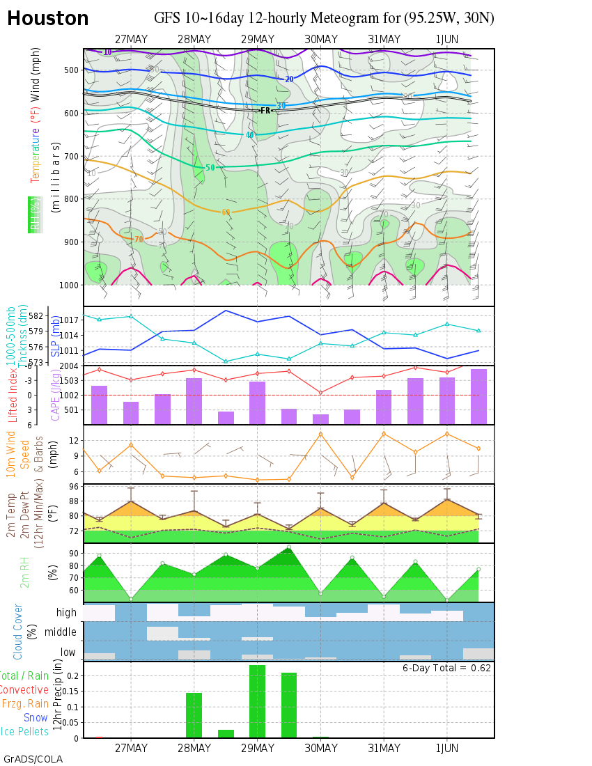
What is that showing? 
i can't believe what i'm reading here. being a kindergartener to your sophisticated meteorology talk, it sure does sound a bit icy, scary, and very very cold!!! i freak out so much about the pipes every time we get 32 and under, probably more than i should, but that would not be a good thing for us texas folks.
-
MontgomeryCoWx

- Posts: 2356
- Joined: Wed Dec 14, 2011 4:31 pm
- Location: Weimar, TX
- Contact:
Stunning. Gorgeous. Textbook!
Euro Control run...
Euro Control run...
Team #NeverSummer
-
Portastorm

- Posts: 800
- Joined: Wed Feb 03, 2010 3:04 pm
- Location: Southwest Austin/Oak Hill, TX
- Contact:
Some very interesting (and educational) comments this afternoon out of the forecast office in Fort Worth. Here is an excerpt of what the NWS meteorologists have to say about the long-range pattern. Incidentally, NWS Dallas/Fort Worth consistently have some of the best forecast discussions out of any NWSFO I have seen.
.LONG RANGE FORECAST...
...FOR THE 8 TO 12 DAY FORECAST PERIOD...
...THURSDAY DEC 19 THROUGH MONDAY DEC 23...
THERE WILL BE A POTENTIAL FOR A SIGNIFICANT COLD OUTBREAK ACROSS
NORTH AND CENTRAL TEXAS THAT COULD START JUST BEYOND THE 7 DAY
FORECAST PERIOD. GIVEN THE EXTENDED RANGE...THERE IS STILL
CONSIDERABLE UNCERTAINTY ON POTENTIAL IMPACTS. A CLOSE INSPECTION OF
THE LATEST 42-MEMBER NORTH AMERICAN ENSEMBLE (NAEFS) SUGGESTS THAT
THE LOWER END OF POTENTIAL IMPACTS WILL BE A RELATIVELY SHORT /TWO
TO THREE DAY/ PERIOD OF MUCH-BELOW NORMAL TEMPERATURES WITH LITTLE
OR NO WINTRY PRECIPITATION ACROSS NORTH AND CENTRAL TEXAS. THE UPPER
END OF THE IMPACTS SUGGEST A 3-4 DAY PERIOD OF MUCH-BELOW NORMAL
TEMPERATURES WITH A CHANCE FOR WINTRY PRECIPITATION IN MANY AREAS OF
NORTH AND CENTRAL TX.
BASED ON THE LAST 3-4 RUNS OF THE NAEFS...CONFIDENCE IS GROWING THAT
A VERY COLD ARCTIC AIRMASS WILL BEGIN SPREADING INTO NORTH TEXAS ON
DEC 19 OR DEC 20. THE FORECAST 500 MB PATTERN AND FORECAST MID LEVEL
TEMPERATURES ACROSS SOUTHERN CANADA STRONGLY SUPPORT A SOUTHWARD
PLUNGING AIRMASS AT LEAST AS COLD AS THE AIRMASS THAT ARRIVED IN
TEXAS ON DEC 5-6. THIS MORNINGS /12Z/ DETERMINISTIC RUNS OF BOTH THE
GFS AND ECMWF SUGGEST THAT THE INITIAL COLD SURGE WILL ARRIVE LATE
THURSDAY DEC 19 OR FRIDAY DEC 20. IF THE FORECAST HOLDS TRUE...THEN
TEMPERATURES AVERAGING 20-25 DEGREES BELOW NORMAL CAN BE EXPECTED
OVER ALL OF NORTH AND CENTRAL TEXAS OVER THE WEEKEND DEC 21-22.
THE PRECIPITATION FORECAST AT THIS EXTENDED RANGE IS MUCH MORE
PROBLEMATIC AND A GREAT DEAL OF UNCERTAINTY EXISTS REGARDING WINTRY
PRECIPITATION AND ANY POTENTIAL IMPACTS. THE NAEFS...WHICH IS
ESSENTIALLY 42 INDIVIDUAL MODEL RUNS USING TWO SEPARATE PHYSICS
PACKAGES...SHOWS A HUGE RANGE OF POTENTIAL IMPACTS. THAT HUGE RANGE
IS TYPICAL WITH ANY STRONG SYSTEMS IN THE 8 TO 12 DAY FORECAST
PERIOD. BUT GIVEN THE INCREASING CHANCES THAT VERY COLD AIR WILL
BE IN PLACE FOR THE PERIOD DEC 20-23...ANY PRECIPITATION THAT
FALLS ACROSS NORTH OR CENTRAL TEXAS COULD HAVE SIGNIFICANT IMPACTS.
09/PATRICK
-
MontgomeryCoWx
- Posts: 2356
- Joined: Wed Dec 14, 2011 4:31 pm
- Location: Weimar, TX
- Contact:
Ummmm... this one won't be shallow if models verify.
-40C 850mb Temps in South Dakota, Montana, Wyoming.
-40C 850mb Temps in South Dakota, Montana, Wyoming.
Team #NeverSummer
-
Texas Pirate
Basic weather English from David Paul's facebook:
Christmas Forecast Wednesday Update: Models still advertising a VERY cold Christmas. Today's run includes a chance for Sleet before and after the 25th.
Christmas Forecast Wednesday Update: Models still advertising a VERY cold Christmas. Today's run includes a chance for Sleet before and after the 25th.
-
txsnowmaker
- Posts: 632
- Joined: Wed Feb 03, 2010 4:07 pm
- Location: SW Houston (Galleria area)
- Contact:
Guess we're in the usual lull between the 18z and 0z runs. My vivid memories of December 1989 and hope for another event with record or near record breaking cold and snow have me very intrigued by even the possibility of a major event in the next two weeks. I remember like yesterday seeing The Weather Channel's live temp and wind chill reading display for Houston during the '89 event. It was something like 7 degrees with a wind chill in the negative teens or negative 20s. Outside, a coating of about an inch and a half of snow covered rooftops and sidewalks for at least a couple of days. It was unreal.


The chance of seeing a white Christmas is almost nil, but not impossible.
What are your chances for a white Christmas?
http://www.climate.gov/news-features/fe ... -christmas
December 1989, December 1983, and February 1899 are likely the most potent cold blast America has seen. I think East Pacific Oscillation (EPO) plays a big role.
Reflecting Back on the Winter Outlook and Recent Spring Trends for 2002-03
http://www.crh.noaa.gov/dtx/winter_2002 ... review.php
EPO is a huge factor, more so than El Nino or even North Atlantic Oscillation.
Big weather story tonight on the 10pm KHOU newscast: "Long range forecast predicts record cold Christmas in Houston"
http://www.khou.com/community/Long-rang ... 13691.html
Okay...I know it's still far out...isn't it too soon to be running with this story like it's confirmed that we'll actually get THAT cold...not that I wouldn't mind it getting that cold...but just hope the models don't start going warmer or...not as cold (min temps in the 30s)..because KHOU would look bad. What if ppl start preparing only to find out the coldest temps will be 32-35?
-
txsnowmaker
- Posts: 632
- Joined: Wed Feb 03, 2010 4:07 pm
- Location: SW Houston (Galleria area)
- Contact:
Calm before the storm? Ice pellets and by my read highs in the 20s in the latest forecast for IAH for portions of the period between Dec. 22 and 27: http://wxmaps.org/pix/iahgfsb.png.
Doesn't look as impressive anymore....hmm..trending warmer?txsnowmaker wrote:Calm before the storm? Ice pellets and by my read highs in the 20s in the latest forecast for IAH for portions of the period between Dec. 22 and 27: http://wxmaps.org/pix/iahgfsb.png.
-
srainhoutx
- Site Admin
- Posts: 19616
- Joined: Tue Feb 02, 2010 2:32 pm
- Location: Maggie Valley, NC
- Contact:
Our Region has be been in the grip of a very chilly Arctic air mass for a week where we have seen temperature departures slowly begin to moderate to around -15 F below average. This moderation will continue as a split flow pattern develops and we begin to move closer to our normal range of temperatures highs in the low to mid 60’s and lows temperatures in the upper 30’s to low 40’s. Rain chances increase Friday as a cut off low currently offshore of Southern California moves E and shears out and a Pacific front passes late Saturday into Sunday. We may finally see some sunshine early next week before big changes begin to unfold as we head toward the late next week time frame.
As we have seen over the past several days, the computer models have been very insistent that a very strong Gulf of Alaska High Pressure Ridge develops and very cold air that has continued to build across Eastern Alaska and Canada is re enforced with a flow across the Arctic. This very cold air is expected to begin to drop S across the Northern Plains into the Great Lakes as heights rise along the Pacific West Coast of North America and nose into Alaska. All of the Global ensembles which we look to as indicators continue to advertise a very deep trough will drop S into the Great Basin/Inter Mountain West and the Great Plains as a blocking High Pressure Ridge develops off the Eastern Seaboard. Florida as been the only location that has escaped that last Artic Outbreak and that trend looks to continue as we head toward the next Arctic plunge. What we do know is that typically when a deep trough extends well S into Mexico, very cold air spills very far South and we have seen this pattern repeat twice since Thanksgiving. The temperature departures depicted by the ensembles suggest this 3rd Arctic Outbreak will be as cold, if not colder than the one we just experienced. What we do not know at this time is exactly how cold we may get and if there will be any moisture available after the cold air is in place.
The fly in the ointment and the complicating factor regarding the sensible weather we can expect is the timing associated with the busy Christmas Holiday period and why there is so much ‘chatter’ for an extended range forecast. Folks are busy and those that are not weather wise tend to be wrapped up in Holiday travel plans and the hectic rush of Holiday festivities where attention is focused elsewhere besides the weather. If the trends continue as they are, we will begin to ramp up our discussions and analysis to provide information regarding winterizing your home and property and other valuable information regarding potential Winter Weather travel troubles. There remain a lot of uncertainties as of today about what we may or may not see unfold a week from today and into the Christmas Day period, so check back often and when the weather picture becomes a bit more clear, we will certainly be discussing what we need to know and what information that will need to be passed on to those that may be less Weather Wise.
Carla/Alicia/Jerry(In The Eye)/Michelle/Charley/Ivan/Dennis/Katrina/Rita/Wilma/Humberto/Ike/Harvey
Member: National Weather Association
Facebook.com/Weather Infinity
Twitter @WeatherInfinity
Member: National Weather Association
Facebook.com/Weather Infinity
Twitter @WeatherInfinity
-
Katdaddy

- Global Moderator

- Posts: 2502
- Joined: Thu Feb 04, 2010 8:18 am
- Location: League City, Tx
- Contact:
Excellent post by srainhoutx and the questions remain……how cold and will there be any precip. At this point we do not know. There will be much model watching over the weekend and into next week. Reminds me of Hurricane Season……."Bear Watch" continues.
-
wxman57

- Global Moderator
- Posts: 2621
- Joined: Thu Feb 04, 2010 5:34 am
- Location: Southwest Houston (Westbury)
- Contact:
I like last evening's GFS run a lot better for Christmas - a high in the mid 60s vs. mid 20s. Unfortunately, I don't think it'll turn out to be a good forecast. GFS continues to jump around quite a bit beyond the next 7 days. Euro & Canadian are still forecasting the very cold air to move south before Christmas.

That run is quite different!
-
MontgomeryCoWx
- Posts: 2356
- Joined: Wed Dec 14, 2011 4:31 pm
- Location: Weimar, TX
- Contact:
no way we would modify that fast after the initial cold push... The GFS is off its rocker for the 24th/25th.
Team #NeverSummer
-
wxman57
- Global Moderator
- Posts: 2621
- Joined: Thu Feb 04, 2010 5:34 am
- Location: Southwest Houston (Westbury)
- Contact:
Yeah, I'm afraid so. There is no hope for warm air near Christmas...MontgomeryCoWx wrote:no way we would modify that fast after the initial cold push... The GFS is off its rocker for the 24th/25th.
-
MontgomeryCoWx
- Posts: 2356
- Joined: Wed Dec 14, 2011 4:31 pm
- Location: Weimar, TX
- Contact:
wxman57 wrote:Yeah, I'm afraid so. There is no hope for warm air near Christmas...MontgomeryCoWx wrote:no way we would modify that fast after the initial cold push... The GFS is off its rocker for the 24th/25th.
I figured it would be cool to cold, but how cold is the question... With the snowpack and teleindices going on right now, I would just be floored if we were able to modify that fast
Team #NeverSummer
-
Baseballdude2915
- Posts: 192
- Joined: Wed Feb 03, 2010 5:21 pm
- Location: Dickinson, Tx
- Contact:
Long time no post, but I've been lurking. Cant wait to watch the developments over the next week or two.
Models have been all over the place and I just think it was pretty foolish for the news stations (namely ch13) to even mention the idea of being in the teens this far out. Its very typical this time of year we see runs of 15-20 degrees in the 240+ hr range only to end up mid 30s once the models get a grip on the mass. Not to be a debby-downer but I want to see these kinds of runs a week out before jumping on board.
Models have been all over the place and I just think it was pretty foolish for the news stations (namely ch13) to even mention the idea of being in the teens this far out. Its very typical this time of year we see runs of 15-20 degrees in the 240+ hr range only to end up mid 30s once the models get a grip on the mass. Not to be a debby-downer but I want to see these kinds of runs a week out before jumping on board.
-
- Information
-
Who is online
Users browsing this forum: Ahrefs [Bot], Amazon [Bot], Bing [Bot], Semrush [Bot] and 85 guests