
Tracking the Tropics:
Lots of (ignorant) people saying mets cried wolf on this. The worst stuff is on the NE side like always and is offshore. The carolinas arent gonna be so lucky tonight.

The mets did their jobs above and beyond!!! Jacksonville right now is taking the brunt of a historic storm surge and just because the eye didn't come onshore doesn't mean this storm isn't one for the history books. For sure Matthews name is going to be retired.
~~~When Thunder Roars Go Indoors~~~
~~~Turn Around Don't Drown~~~
~~~Run From The Water, Hide From The Wind~~~
~~~Turn Around Don't Drown~~~
~~~Run From The Water, Hide From The Wind~~~

Cromagnum wrote:Lots of (ignorant) people saying mets cried wolf on this. The worst stuff is on the NE side like always and is offshore. The carolinas arent gonna be so lucky tonight.
Given the myriad of models, at most 10-15 mi off. That's incredible!!
My concern is that FL won't be prepared for the next one...and there will be a next one.


Northeast Florida and Georgia rarely get hit by tropical cyclones or do they?
Chronological Listing of Tropical Cyclones affecting North Florida and Coastal Georgia 1565-1899
http://www.aoml.noaa.gov/hrd/Landsea/history/
Turns out that area does get hit by tropical cyclones more than we like to think. Of course this happened before satellites and happened in 19th century and before.
-
srainhoutx

- Site Admin

- Posts: 19616
- Joined: Tue Feb 02, 2010 2:32 pm
- Location: Maggie Valley, NC
- Contact:
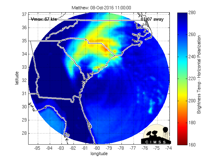
Looks like Matthew is making US landfall just to the NE of Charleston, SC at this time...
Carla/Alicia/Jerry(In The Eye)/Michelle/Charley/Ivan/Dennis/Katrina/Rita/Wilma/Humberto/Ike/Harvey
Member: National Weather Association
Facebook.com/Weather Infinity
Twitter @WeatherInfinity
Member: National Weather Association
Facebook.com/Weather Infinity
Twitter @WeatherInfinity
-
wxman57

- Global Moderator

- Posts: 2621
- Joined: Thu Feb 04, 2010 5:34 am
- Location: Southwest Houston (Westbury)
- Contact:
I've been too busy to post over the past week. Calming down now at the office. I was supposed to start my vacation yesterday (comp day for working weekends in Hermine) but I've been on 12hr shifts all week (& today). We leave for vacation in Orlando on Monday. Glad they escaped any significant winds there.
Surface obs and its appearance on satellite indicate that Matthew is now a tropical storm. Max sustained winds maybe 60 mph or so. It could still produce some wind gusts near hurricane force for a few more hours. Heavy rain along the SC coast, too, but that threat is diminishing. Quite a surge all along the coast from Florida to the Carolinas with Matthew. Glad Matthew won't be hanging around too long after exiting the Carolinas tomorrow. Should be nice weather all week in Orlando!
Surface obs and its appearance on satellite indicate that Matthew is now a tropical storm. Max sustained winds maybe 60 mph or so. It could still produce some wind gusts near hurricane force for a few more hours. Heavy rain along the SC coast, too, but that threat is diminishing. Quite a surge all along the coast from Florida to the Carolinas with Matthew. Glad Matthew won't be hanging around too long after exiting the Carolinas tomorrow. Should be nice weather all week in Orlando!
With all the statistics kept on hurricanes, it may be interesting to see if Matthew garners an asterisk for the amount & scope of damage and other weather notables for a 'little' category 1 storm that made landfall near McClellanville, S.C. Or how Matthew will skew category 1 landfall storm damage statistics. Ptarmigan might could give some insight.
-
Andrew
- Site Admin
- Posts: 3440
- Joined: Wed Feb 03, 2010 9:46 pm
- Location: North-West Houston
- Contact:
Models are indicating support once again for tropical development in the Caribbean ~7-10 days out. Strong support from the MJO will only increase chances of genesis. Something to keep an eye on over the next couple days.
For Your Infinite Source For All Things Weather Visit Our Facebook
Code: Select all
000
WTNT35 KNHC 130310 CCA
TCPAT5

BULLETIN
HURRICANE NICOLE ADVISORY NUMBER  36...CORRECTED
NWS NATIONAL HURRICANE CENTER MIAMI FL       AL152016
1100 PM AST WED OCT 12 2016

CORRECTED FOR DIRECTION OF MOTION IN DISCUSSION SECTION

...EXTREMELY DANGEROUS CATEGORY FOUR NICOLE HEADING FOR BERMUDA...


SUMMARY OF 1100 PM AST...0300 UTC...INFORMATION
-----------------------------------------------
LOCATION...30.1N 66.4W
ABOUT 180 MI...290 KM SSW OF BERMUDA
MAXIMUM SUSTAINED WINDS...130 MPH...215 KM/H
PRESENT MOVEMENT...NNE OR 20 DEGREES AT 12 MPH...19 KM/H
MINIMUM CENTRAL PRESSURE...950 MB...28.06 INCHES


WATCHES AND WARNINGS
--------------------
CHANGES WITH THIS ADVISORY:

None.

SUMMARY OF WATCHES AND WARNINGS IN EFFECT:

A Hurricane Warning is in effect for...
* Bermuda

A Hurricane Warning means that hurricane conditions are expected
somewhere within the warning area. Preparations to protect life and
property should be rushed to completion.

For storm information specific to your area, please monitor
products issued by your national meteorological service.


DISCUSSION AND 48-HOUR OUTLOOK
------------------------------
At 1100 PM AST (0300 UTC), the large eye of Hurricane Nicole was
located near latitude 30.1 North, longitude 66.4 West. Nicole is
moving toward the north-northeast near 12 mph (19 km/h). An increase
in forward speed is expected Thursday, followed by a turn toward the
northeast and a further increase in forward speed expected by
Thursday night. On the forecast track, the core of Nicole will pass
over or near Bermuda on Thursday.

Data from an Air Force Reserve Hurricane Hunter aircraft indicate
that maximum sustained winds have increased to near 130 mph (215
km/h) with higher gusts. Nicole is an extremely dangerous category
4 hurricane on the Saffir-Simpson Hurricane Wind Scale. Little
change in strength is expected overnight, and Nicole is forecast to
be at major hurricane strength when it moves near Bermuda. Some
weakening is expected to begin by late Tuesday.

Nicole has a large area of hurricane-force winds that extend outward
up to 65 miles (100 km) from the center. Tropical-storm-force
winds extend outward up to 160 miles (260 km).

The latest estimated minimum central pressure from the aircraft is
950 mb (28.06 inches).


HAZARDS AFFECTING LAND
----------------------
WIND:  Hurricane conditions are expected to begin on Bermuda
Thursday morning, with tropical storm conditions expected to begin
soon.

STORM SURGE:  A dangerous storm surge will raise water levels by as
much as 6 to 8 feet above normal tide levels in Bermuda. The surge
will be accompanied by large and destructive waves.

RAINFALL:  Nicole is expected to produce total rain accumulations
of 4 to 8 inches over Bermuda through Thursday.

SURF:  Swells associated with Nicole will affect Bermuda during the
next few days, and will spread northward along the United States
east coast from the Carolinas northward through the next few days.
These swells will create dangerous surf conditions and rip currents.
Please refer to products being issued by your local weather office
for more information.

TORNADOES:  Isolated tornadoes are possible on Bermuda tonight and
early Thursday.


NEXT ADVISORY
-------------
Next intermediate advisory at 200 AM AST.
Next complete advisory at 500 AM AST.

$$
Forecaster BrennanHurricane Nicole is now a Category 4 hurricane with 130 mph winds. It is the second Category 4 in October.
-
tireman4

- Global Moderator
- Posts: 4488
- Joined: Wed Feb 03, 2010 9:24 pm
- Location: Humble, Texas
- Contact:
Yep, and this is live streaming from Bermuda...
http://bernews.com/2016/10/live-video-h ... pproaches/
http://bernews.com/2016/10/live-video-h ... pproaches/
Interesting note from Phil Klotzbach, via Jeff Masters Wunderblog, "Never before has the Atlantic recorded two storms of at least Category 4 strength in October." For records going back to 1851.
https://www.wunderground.com/blog/JeffM ... ng-bermuda
https://www.wunderground.com/blog/JeffM ... ng-bermuda
