
June 2021:
Tomorrow is beginning to look more and more interesting.
What is the timing for tomorrow? Rush hour commute home like typical daytime heating tends to do, or is the front coming in earlier/later?

Howdy - there is a chance of showers during the day but the main action will be in the evening when the front comes through. I think most of us could use some rain at this point.
The GFS continues to show development in the long range in the Western Caribbean. Track as expected has gone anywhere from Tampa to Brownsville, which is expected with these 'potential' systems this far out. So far there is no other modeling support so for now it could be nothing. Most every model is agreeing on an EPAC system in the long range but the GFS remains on an island for anything in the WC.
I know there was some talk about majors in the Gulf in July. Dennis and Emily were a couple in the historic 05 season. Texas wise Hurricane Dolly back in 08 was a decent event. In fact that was my very first chase with Josh down in Port Isabel. For awhile there overnight into the early morning there was an outside chance it might make a run at a major. It was close to bombing out before leveling off as it made landfall.
Here's a clip of that chase. I make a special appearance mentioning the latest obs just off the coast at 100 mph. Let's just say there was a mix of pure adrenaline and 'wtf' did I get myself into as at that time we thought it could still potentially intensify. I was driving and Josh was filming.... Ended up being a perfect storm for a first time chase. That was a hell of a year for the Western Gulf. Dolly, Gustav and eventually Ike....
https://www.youtube.com/watch?v=Hmb8VyC4FNg
-
Kingwood36
- Posts: 1592
- Joined: Sat Dec 29, 2018 10:29 am
- Location: Freeport
- Contact:
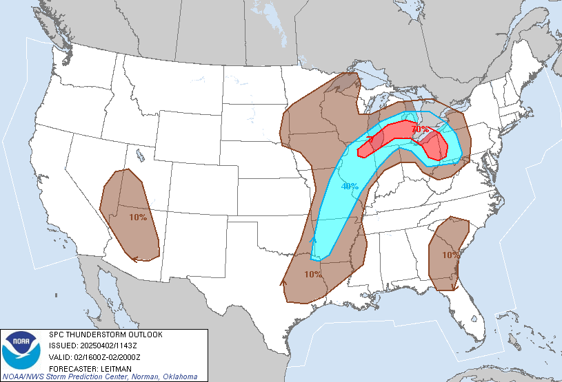
Thus little booger may cause the gulf some trouble later next week
- Attachments
-
Did they back down on tonight's event? This doesn't strike me as particularly impressive. That being said, just being outside it feels like something is coming.

It never really was supposed to be much of a severe weather threat. More of a rain threat but even that might be pushing it based on latest trends. HRRR model has cut back on totals significantly since yesterday.

Just give me some clouds. Ill be happy with cloud cover. Power is out at work. 80 in my office and wet from humidity. Thinking im just gonna go home. I cant stand it.
Mike
Beaumont, TX
(IH-10 & College Street)
Beaumont, TX
(IH-10 & College Street)
-
redneckweather
- Posts: 1023
- Joined: Mon Feb 08, 2010 7:29 pm
- Location: Montgomery, Texas
- Contact:
Yep, we might have cloud cover today but that dew point and humidity are down right suffocating.
-
Stratton20
- Posts: 4248
- Joined: Tue Feb 09, 2021 11:35 pm
- Location: College Station, Texas
- Contact:
Chilling at the resort pool in Panama City, nice and breezy and cloudy, temps in the low 80’s! Cant get better than that


Enjoy your vacation. I’m kicking off this forum for 1 week 


Nice flare up in the northern gulf.
-
Texaspirate11

- Posts: 1278
- Joined: Tue Dec 31, 2013 12:24 am
- Contact:
Looking forward for our fake cold front looking forward to the storms.
Just because you're disabled, you don't have to be a victim
Be Weather Aware & Prepared!
Barbara Jordan Winner in Media
Disability Integration Consultant
Be Weather Aware & Prepared!
Barbara Jordan Winner in Media
Disability Integration Consultant

The front is on a Temple to Shreveport line. It's just a windshift and lower DP demarcation.

Getting some heavy rain right now,which has dropped the temps by a few degrees. 
Had a few showers today. Thought we were going to see more looking at radar a few hours ago. Now it just looks like a soupy mess of blah. It’s ridiculously humid outside. It’d be nice to get a good rain or at least some wind!
BULLETIN - EAS ACTIVATION REQUESTED
Flash Flood Warning
National Weather Service Houston/Galveston TX
651 PM CDT Mon Jun 21 2021
The National Weather Service in League City has issued a
* Flash Flood Warning for...
Harris County in southeastern Texas...
* Until 845 PM CDT.
* At 651 PM CDT, Doppler radar indicated thunderstorms producing
heavy rain across the warned area. Between 1 and 4 inches of rain
have fallen. Flash flooding is ongoing or expected to begin
shortly.
HAZARD...Flash flooding caused by thunderstorms.
SOURCE...Doppler radar.
IMPACT...Flooding of small creeks and streams, urban areas,
highways, streets and underpasses as well as other
drainage and low lying areas.
* Some locations that will experience flash flooding include...
Greater Fifth Ward, Near Northside Houston, Second Ward,
southeastern Northside / Northline, Downtown Houston, northeastern
Greater Heights, Settegast, East Houston, Houston Gardens, East
Little York / Homestead, El Dorado / Oates Prairie, Kashmere
Gardens, Pleasantville Area, Eastex / Jensen Area, Hunterwood,
Denver Harbor / Port Houston, Northshore and Independence Heights.
PRECAUTIONARY/PREPAREDNESS ACTIONS...
Turn around, don`t drown when encountering flooded roads. Most flood
deaths occur in vehicles.
Excessive runoff from heavy rainfall will cause flooding of small
creeks and streams, urban areas, highways, streets and underpasses
as well as other drainage areas and low lying spots.
-
- Information
-
Who is online
Users browsing this forum: Ahrefs [Bot], Bing [Bot], Semrush [Bot] and 63 guests