Page 8 of 24
Re: 2011 Atlantic Hurricane Season: Early Season Discussion
Posted: Sun Jun 19, 2011 3:56 pm
by Ptarmigan
I don't care if it develops or not. We need rain! We have not had rain for months!!!! AAAARGGGGHHHHHHH!!!!!!!!!!!!!!


Re: 2011 Atlantic Hurricane Season: Early Season Discussion
Posted: Sun Jun 19, 2011 9:49 pm
by sambucol
Ed Mahmoud wrote:Ptarmigan wrote:I don't care if it develops or not. We need rain! We have not had rain for months!!!! AAAARGGGGHHHHHHH!!!!!!!!!!!!!!


How do abnormally dry Winters/Springs correspond to SETX TC activity the following season?
I have a feeling I know the answer...
Inquiring minds want to know.
Re: 2011 Atlantic Hurricane Season: Early Season Discussion
Posted: Sun Jun 19, 2011 10:14 pm
by Ptarmigan
sambucol wrote:Ed Mahmoud wrote:
How do abnormally dry Winters/Springs correspond to SETX TC activity the following season?
I have a feeling I know the answer...
Inquiring minds want to know.
Statistical analysis with Winter, Spring, and Winter and Spring rainfall totals and tropical cyclones from 1895 to 2010.
Winter (December to February) Rainfall Total
r = .04
p-value = 0.67
A somewhat wetter winter is favorable for tropical cyclone landfall for Upper Texas Coast.
Spring (March to May) Rainfall Total
r = -.04
p-value = 0.65
A somewhat drier spring is favorable for tropical cyclone landfall for Upper Texas Coast.
Winter and Spring Rainfall Total
r = -.01
p-value = 0.93
A somewhat drier winter and spring rainfall total is favorable for tropical cyclone landfall for Upper Texas Coast.
Overall, no correlation between winter, spring, and winter and spring rainfall total. It can go either way. The correlation and p-value are not significant.
Re: 2011 Atlantic Hurricane Season: Early Season Discussion
Posted: Mon Jun 20, 2011 11:43 am
by srainhoutx
The 12Z GFS continues to advertise some Bay of Campeche mischief in the longer range...
Re: 2011 Atlantic Hurricane Season: Early Season Discussion
Posted: Mon Jun 20, 2011 12:20 pm
by srainhoutx
The 12Z Canadian is suggesting disturbed weather in the Western Caribbean later this weekend...
Re: 2011 Atlantic Hurricane Season: Early Season Discussion
Posted: Mon Jun 20, 2011 1:13 pm
by srainhoutx
The 12Z PSU CMC 180 hour chart suggests a disturbance near the Yucatan...
Re: 2011 Atlantic Hurricane Season: Early Season Discussion
Posted: Mon Jun 20, 2011 1:58 pm
by srainhoutx
The 12Z Euro continues the trend for the Yucatan area. That models also suggests a robust wave in the Caribbean in the longer range.
Re: 2011 Atlantic Hurricane Season: Early Season Discussion
Posted: Tue Jun 21, 2011 8:41 am
by srainhoutx
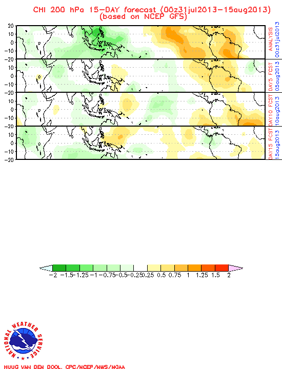
The GFS is suggesting more favorable conditions for
possible TC development re: MJO in the days ahead...

Re: 2011 Atlantic Hurricane Season: Early Season Discussion
Posted: Tue Jun 21, 2011 11:41 am
by srainhoutx
The 12Z GFS continues to suggest a pattern change (no dry Upper Ridge across the Gulf) across the Western Basin. That model is hinting development in the Bay of Campeche. It does appear the MJO influence will lead to an environment that would support any future development. We will see.
The attachment 06212011 12Z gfs_wnatl_180_850_vort_ht.gif is no longer available
Re: 2011 Atlantic Hurricane Season: Early Season Discussion
Posted: Tue Jun 21, 2011 12:14 pm
by srainhoutx
The 12Z Canadian also suggests a possible storm near the Yucatan...
Re: 2011 Atlantic Hurricane Season: Early Season Discussion
Posted: Tue Jun 21, 2011 12:42 pm
by srainhoutx
For those interested, FSU has added the experimental HRWF 3km NOAAHFIP model to their tropical model page...
http://moe.met.fsu.edu/tcgengifs/
Re: 2011 Atlantic Hurricane Season: Early Season Discussion
Posted: Tue Jun 21, 2011 12:53 pm
by srainhoutx
The Canadian a bit further out on the PSU site...
Re: 2011 Atlantic Hurricane Season: Early Season Discussion
Posted: Tue Jun 21, 2011 1:33 pm
by srainhoutx
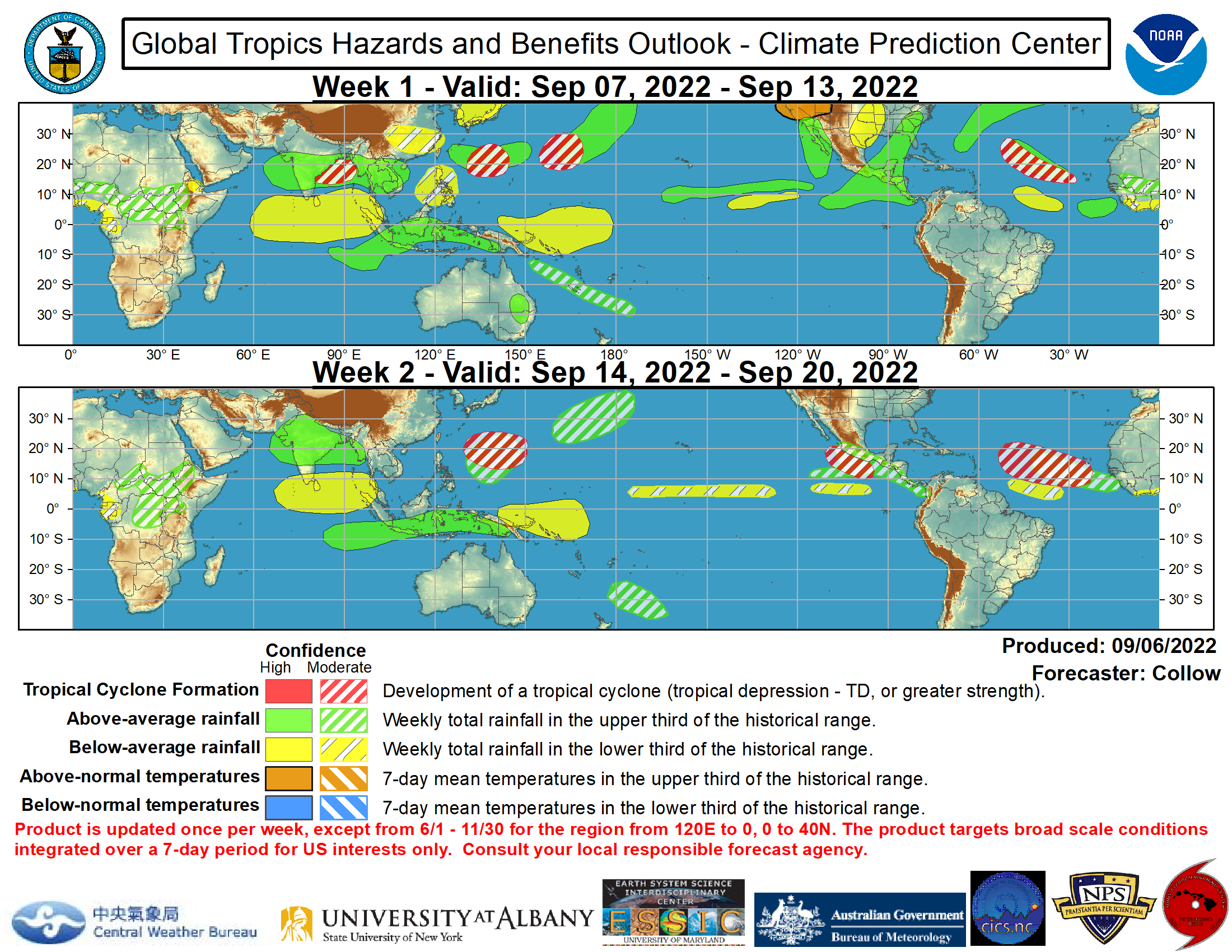
The CPC Update does suggest higher rain chances across the Western Basin and the Gulf in the longer range...

Re: 2011 Atlantic Hurricane Season: Early Season Discussion
Posted: Tue Jun 21, 2011 4:29 pm
by unome
increasing chances in the BOC

Re: 2011 Atlantic Hurricane Season: Early Season Discussion
Posted: Wed Jun 22, 2011 9:33 am
by srainhoutx
MIMIC TPW suggests the wave approaching the Windward Islands may well be the culprit that the models have been sniffing out. It does appear the Upper Ridge will be well anchored across the Southern Plains and TX and any tropical mischief that
may spin up would be Mexico bound. Hopefully the GFS is correct in breaking down the Ridge yet again and some deep tropical moisture can stream further N and enhance rain chances once again...
HPC:
USED A 06Z GFS/00Z ECMWF
COMPROMISE THEREAFTER TO ACCOUNT FOR ISSUES NEAR THE WEST COAST
AND IN THE GULF OF MEXICO...WHERE BETWEEN 1/4 AND 1/5 OF THE 00Z
GLOBAL ENSEMBLE GUIDANCE NOW SUPPORTS A POTENTIALLY CONVECTIVE LOW
MOVING FROM THE WESTERN CARIBBEAN ACROSS THE YUCATAN PENINSULA AND
THROUGH THE BAY OF CAMPECHE...A SOLUTION THE 12Z GFS/12Z CANADIAN
HINTED AT YESTERDAY.

Re: 2011 Atlantic Hurricane Season: Early Season Discussion
Posted: Wed Jun 22, 2011 11:05 am
by srainhoutx
The Euro Seasonal forecast is out and does not bode well for those that have been expecting increased EC activity. The Western Basin continues to look like the hot bed this season via that long range model solution...
Re: 2011 Atlantic Hurricane Season: Early Season Discussion
Posted: Wed Jun 22, 2011 11:16 am
by wxman57
This Euro graphic may show the pressure anomaly for August-October better. Quite low pressures in the Caribbean to southern Gulf.

Re: 2011 Atlantic Hurricane Season: Early Season Discussion
Posted: Wed Jun 22, 2011 11:18 am
by srainhoutx
The 12Z GFS continues to advertise some possible tropical mischief as we head into the weekend in the Western Basin...
Re: 2011 Atlantic Hurricane Season: Early Season Discussion
Posted: Wed Jun 22, 2011 12:04 pm
by srainhoutx
The 12Z Canadian suggests a storm taking shape near the Yucatan...
Re: 2011 Atlantic Hurricane Season: Early Season Discussion
Posted: Wed Jun 22, 2011 12:27 pm
by Andrew
srainhoutx wrote:I'll post this here since it may have some bearing on future rainfall chances next week. The Models have been suggesting the past few days of some potential tropical mischief heading out of the Western Caribbean early next week. The 12Z GFS continues that trend...
The Thing about this run is that you can track the moisture across the Carribean instead of the past couple of runs (including last week's gfs where it showed a ghost storm in the BOC). As a result more credit and reliance can be put into it. Also the gfs does a good job tracking the storm and doesn't bounce it all around.
Carribean:


Gulf:


500 heights would also allow this storm to be more of a lower Texas hit at this point in time but being so far out if the storm does develop this could change. This run from the gfs is a little more promising as it isn't just picking up the lower pressure in the BOC and creating a storm out of it.

