000
FXUS64 KHGX 121129
AFDHGX
Area Forecast Discussion
National Weather Service Houston/Galveston TX
629 AM CDT Fri May 12 2023
...New AVIATION...
.SHORT TERM...
(Today through Saturday Night)
Issued at 415 AM CDT Fri May 12 2023
Another warm and muggy day across Southeast TX today. Early this
morning, sfc obs reported temperatures in the upper 70s with
dewpoints in the mid to upper 70s, so it definitely feels muggy
out there. Widespread stratus/low clouds will stick around through
much of the morning hours, before scattering out in the
afternoon. Peak heating and abundant Gulf moisture may allow a few
showers and thunderstorms to develop north of I-10 through early
evening. Highs mainly in the 80s to near 90 can be expected.
The main weather feature and concern for later tonight through
Sunday revolves around additional showers and thunderstorms,
resulting in heavy rainfall on already saturated grounds. Southeast
TX will be positioned between an upper lvl ridge to our east and a
mid level trough developing over northern MX/West TX today. This
scenario will continue to increase moisture advection across the
region with PWs around 1.7 to 1.9 inches. These values are near the
90th percentile of climatology. While most of the dynamic forcing
should remain to our west, latest guidance bring several mid-lvl
shortwaves in advance of the parent trough late tonight into
Saturday. Steep lapse rates, moderate LLJ and decent bulk shear (~30
knots) will be enough to develop and maintain any thunderstorms.
In fact, most guidance keeps suggesting a somewhat organized MCS
tracking eastward into our region through late Saturday night.
Though confidence still remains moderate as it will depend on the
evolution of these storms over west/central TX.
With that being said, increasing rain and storm chances can be
expected from west to east tonight into the rest of the short-term
period. Both, excessive rainfall and isolated to scattered severe
thunderstorms will be possible as the system tracks east with large
hail and damaging winds as the main risks. The greater potential for
heavy rainfall and strong to severe thunderstorms will be across our
western and southwestern counties. Rainfall totals of 1 to 2 inches
can be expected, with isolated localized higher amounts. While these
rainfall totals would normally not be a concern (flash flood
guidance shows values at or above 3 inches over most of the area),
trends will need to be monitored especially for our southwestern
Counties where impacts on creeks and rivers and street flooding can
be expected. A Flood Watch has been issued for Colorado, Wharton,
Jackson and Matagorda Counties from late tonight through Sunday
evening. More details in the Hydrology section below.
JM
&&
.LONG TERM...
(Sunday through Thursday)
Issued at 415 AM CDT Fri May 12 2023
Unfortunately, Mother`s Day will be a rainy one, so it`d probably be
for the best to make any celebration plans indoors. On the plus
side, it`ll be the perfect day for moms (and everyone else) to
sleep in! The upper level low and subsequent surface low will
still be over West TX on Sunday morning with a well established
moisture axis just off to our west. PW values over our area will
be near or above the 90th percentile (~1.74"), so locally heavy
rainfall is possible in Southeast TX. However, the best chances of
seeing this heavy rain will be west of the I-45 corridor. Still
expecting a rather tight QPF gradient between the 2"+ totals and
0.5"-1.0" totals, and the I-45 corridor serves as a decent
boundary although the higher totals (in our area) will likely be
about 30-50 miles to west of the interstate. Due to the expected
rainfall along with the recent rainfall from earlier this week,
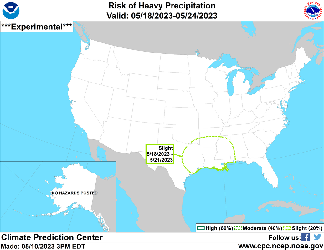
there is a marginal risk (level 1 out of 4) for excessive rainfall
on both Sunday and Monday.
The upper level low gets dragged northward on Sunday by a
retrograding upper level low transitioning from the Four Corners
region back towards the Pacific Coast. The lingering moisture and
a steady influx of shortwaves wrapping around a building mid level
ridge early next week will lead to persistent rain chances
throughout the week. A weak cold front still looks to at least
approach us on late Monday/early Tuesday, but at best this will
just offer a shift in wind direction. This actually does impact
the temperature forecast...just not in the direction that you`re
hoping for. First, I wanna mention that on Monday afternoon, a
pocket of drier air (PW values ~1.3"-1.4") slides over the area.
With 500mb heights increasing as well, we`ll see quite a bit of
sun which will lead to high temperatures approaching the 90°F
mark. Surface winds on Tuesday will be a mixed bag due to the
front, but they are not expected to be predominantly onshore...at
least not for a long enough period of time to fully replace the
slightly drier air. The end result...another day of high
temperatures approaching the 90°F mark.
Going into midweek, an upper level trough begins to dig down into
the northeast CONUS and squashes our ridge, so we do get a brief and
slight relief from the hot temperatures. This trough does amplify
another upper level ridge over the western CONUS, which places us in
westerly to northwesterly flow aloft. Numerous shortwaves will be
able to sweep through. So, with a fair amount of moisture remaining
in place, we`ll continue to see chances for diurnally driven
showers/storms through the rest of the long term period. I used
the word "brief" when I referenced relief from the hot
temperatures earlier because there are signs of a warming trend
at the end of the week. 500mb heights begin to increase again
along with southwesterly flow aloft becoming established at
850mb. We may be on the doorsteps of the 90°F mark once again
going into next weekend. Yay...

Batiste
&&
.AVIATION...
(12Z TAF Issuance)
Issued at 620 AM CDT Fri May 12 2023
Widespread MVFR to IFR conditions due to low clouds/stratus should
persist through late morning. Then, expect SCT to BKN ceilings
along with gusty south to southeast winds in the afternoon. The
exception will be around the coastal terminals where MVFR
ceilings look to remain through the day. Isolated thunderstorms
will be possible in the afternoon, mainly for terminals north of
IAH, including CLL. MVFR to IFR conditions return this evening
along with increasing rain and storm chances from west to east
towards the end of this TAF cycle.
JM
&&
.MARINE...
Issued at 415 AM CDT Fri May 12 2023
Light to occasionally moderate southeasterly flow continues to
prevail. There are currently caution flags up for the bays and Gulf
waters that extends into tonight, but will likely need to be
extended through the weekend for at least the offshore waters due to
elevated seas from the persistent onshore flow. This prolonged
period of onshore flow will also continue the trends of a moderate
to high risk of rip currents. Water levels during high tide today
are expected to remain below 3 ft MLLW. Rain chances increase over
the weekend, especially over the western waters, as an upper level
disturbance approaches. Onshore flow will continue until late
Monday/early Tuesday when a weak cold front attempts to move
offshore and could bring a brief period of light offshore flow.
Batiste
&&
.HYDROLOGY...
Issued at 415 AM CDT Fri May 12 2023
Due to the recent rainfall from earlier this week, there are
currently two gauges along the Lavaca/Navidad Rivers that have a
Flood Warnings. EDNT2 (Edna, TX) is currently in minor flood stage
and is expected to remain above flood stage through at least this
afternoon. LSNT2 (Strane Park, TX) is forecast to reach minor flood
stage this afternoon. Widespread heavy rainfall is expected this
weekend to our west in the Hill Country area, so we will have to
keep an eye on downstream impacts especially along the
Lavaca/Navidad River where multiple flood gauges are either in or
forecast to go into at least action stage.
This was part of the rationale for issuing the Flood Watch
that goes into effect for Colorado, Wharton, Matagorda, and
Jackson Counties late tonight through Sunday evening. These
locations received excessive rainfall earlier this week with some
observed totals of over 6" near Matagorda Bay. With additional
heavy rainfall expected over the weekend, there is an increased
risk for flooding in these areas.
Batiste
&&
.PRELIMINARY POINT TEMPS/POPS...
College Station (CLL) 88 72 84 69 / 20 50 60 40
Houston (IAH) 87 73 84 71 / 20 30 50 30
Galveston (GLS) 82 76 82 75 / 10 30 40 30
&&
.HGX WATCHES/WARNINGS/ADVISORIES...
TX...Flood Watch from late tonight through Sunday evening for TXZ210-
226-235-236-335-336-436.
High Rip Current Risk through this evening for TXZ436>439.
GM...Small Craft Should Exercise Caution through late tonight for
GMZ330-335-350-355-370-375.
&&
$$
SHORT TERM...JM
LONG TERM....Batiste
AVIATION...JM
MARINE...Batiste
 hope we can keep daily rain chances around!