Re: January 2017 -Warm & Damp WX/Winter Returns Late Month
Posted: Mon Jan 16, 2017 6:29 am
Message: NOAA-NWS-ALERTS-TX1258389B484C.TornadoWarning.1258389B4F54TX.HGXSVSHGX.aa74d2929e7f70e3d3c3726c613ac3a8 from w-nws.webmaster@noaa.gov
Sent: 06:27 CST on 01-16-2017
Effective: 06:27 CST on 01-16-2017
Expires: 06:45 CST on 01-16-2017
Event: Tornado Warning
Alert:
...A TORNADO WARNING REMAINS IN EFFECT UNTIL 645 AM CST FOR
SOUTHEASTERN WALLER...WEST CENTRAL HARRIS AND NORTH CENTRAL FORT BEND
COUNTIES...
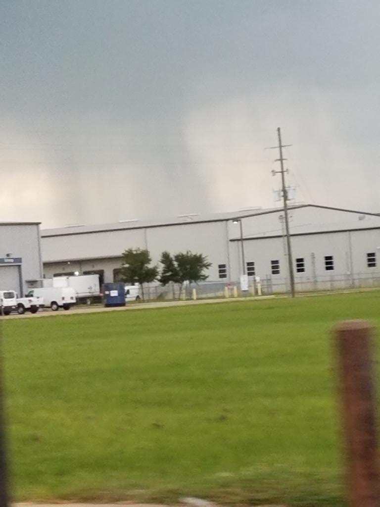
At 626 AM CST, a severe thunderstorm capable of producing a tornado
was located near Katy, moving northeast at 25 mph.
HAZARD...Tornado.
SOURCE...Radar indicated rotation.
IMPACT...Flying debris will be dangerous to those caught without
shelter. Mobile homes will be damaged or destroyed. Damage
to roofs, windows, and vehicles will occur. Tree damage is
likely.
Locations impacted include...
Katy, southwestern Addicks Park Ten, northwestern Eldridge / West
Oaks, Fulshear, Cinco Ranch and Memorial.
TORNADO...RADAR INDICATED
HAIL...<.75IN
Instructions: TAKE COVER NOW! Move to a basement or an interior room on the lowest floor of a sturdy building. Avoid windows. If you are outdoors, in a mobile home, or in a vehicle, move to the closest substantial shelter and protect yourself from flying debris. Motorists should not take shelter under highway overpasses. If you cannot safely drive away from the tornado, as a last resort, either park your vehicle and stay put, or abandon your vehicle and lie down in a low lying area and protect yourself from flying debris.
Target Area:
Fort Bend
Harris
Waller
Sent: 06:27 CST on 01-16-2017
Effective: 06:27 CST on 01-16-2017
Expires: 06:45 CST on 01-16-2017
Event: Tornado Warning
Alert:
...A TORNADO WARNING REMAINS IN EFFECT UNTIL 645 AM CST FOR
SOUTHEASTERN WALLER...WEST CENTRAL HARRIS AND NORTH CENTRAL FORT BEND
COUNTIES...
At 626 AM CST, a severe thunderstorm capable of producing a tornado
was located near Katy, moving northeast at 25 mph.
HAZARD...Tornado.
SOURCE...Radar indicated rotation.
IMPACT...Flying debris will be dangerous to those caught without
shelter. Mobile homes will be damaged or destroyed. Damage
to roofs, windows, and vehicles will occur. Tree damage is
likely.
Locations impacted include...
Katy, southwestern Addicks Park Ten, northwestern Eldridge / West
Oaks, Fulshear, Cinco Ranch and Memorial.
TORNADO...RADAR INDICATED
HAIL...<.75IN
Instructions: TAKE COVER NOW! Move to a basement or an interior room on the lowest floor of a sturdy building. Avoid windows. If you are outdoors, in a mobile home, or in a vehicle, move to the closest substantial shelter and protect yourself from flying debris. Motorists should not take shelter under highway overpasses. If you cannot safely drive away from the tornado, as a last resort, either park your vehicle and stay put, or abandon your vehicle and lie down in a low lying area and protect yourself from flying debris.
Target Area:
Fort Bend
Harris
Waller