
June 2022

Storms starting to pop around the area now.

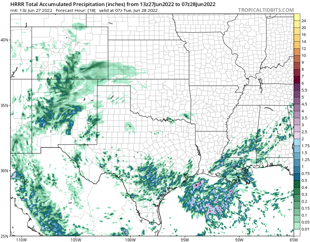
Yep the scattered storms the HRRR was showing are now popping up 
It must be a miracle. I’m hearing Thunder, and my A/C shut off on its own.
I hope it comes in around Port O’Connor.Stratton20 wrote: ↑Mon Jun 27, 2022 2:47 pm I got shafted by a storm up here last night, all thunder/lightning but no rain, what a troll haha, I hope this low comes in around matagorda bay
-
Stratton20
- Posts: 4248
- Joined: Tue Feb 09, 2021 11:35 pm
- Location: College Station, Texas
- Contact:
12z EPS guidance
- Attachments
-
-
captainbarbossa19

- Posts: 401
- Joined: Mon Jun 28, 2021 2:50 pm
- Location: Starkville, MS
- Contact:
Interesting, almost all the ensemble members start the turn well before it reaches the south Texas coast.
18Z HRRR turns the system into a Tropical Storm.
- Attachments
-
-
Big shift west on the 18Z ICON.Now has a landfall of a weak tropical storm around Matagorda. Looks more in line with the other models now.
- Attachments
-

It's a 100°F in CLL (so much for the cool-off)...and cells continue to lurk and drift west, just south of os. Congrats to those getting rain! There's a significant easterly breeze. Unfortunately it's not a cooling breeze.Cpv17 wrote: ↑Mon Jun 27, 2022 3:05 pmI hope it comes in around Port O’Connor.Stratton20 wrote: ↑Mon Jun 27, 2022 2:47 pm I got shafted by a storm up here last night, all thunder/lightning but no rain, what a troll haha, I hope this low comes in around matagorda bay
-
captainbarbossa19
- Posts: 401
- Joined: Mon Jun 28, 2021 2:50 pm
- Location: Starkville, MS
- Contact:
This system sure isn't going to be moving fast. It takes from Thursday afternoon to Saturday morning for the low to get to NE Texas on the Euro.
No rain in a month here.Cromagnum wrote: ↑Mon Jun 27, 2022 2:33 pmAt least your area benefited from some of the popup storms that blew through the border over the last week. Most of us haven't seen a drop in weeks.
Hopefully this system can halt the desert feedback loop and open the door for a more "normal" rainfall pattern.
-
Stratton20
- Posts: 4248
- Joined: Tue Feb 09, 2021 11:35 pm
- Location: College Station, Texas
- Contact:
captainbarbossa19 yep a slower system would be beneficial but also the flooding potential would also go up
102°F with winds N20 G30. How is that even possible? lol.
-
captainbarbossa19
- Posts: 401
- Joined: Mon Jun 28, 2021 2:50 pm
- Location: Starkville, MS
- Contact:
18z GFS is stronger and further north than 12z.
-
Stratton20
- Posts: 4248
- Joined: Tue Feb 09, 2021 11:35 pm
- Location: College Station, Texas
- Contact:
captainbarbossa19 i dont see much of a difference on this run