
September 2023
Nice line coming up from Victoria already.
Oof. Nice surprise electric bill. Centerpoint upped their delivery charge by 1.7 cents per KwH for the "winter" although it's going to be hot until October.
-
Stratton20
- Posts: 4282
- Joined: Tue Feb 09, 2021 11:35 pm
- Location: College Station, Texas
- Contact:
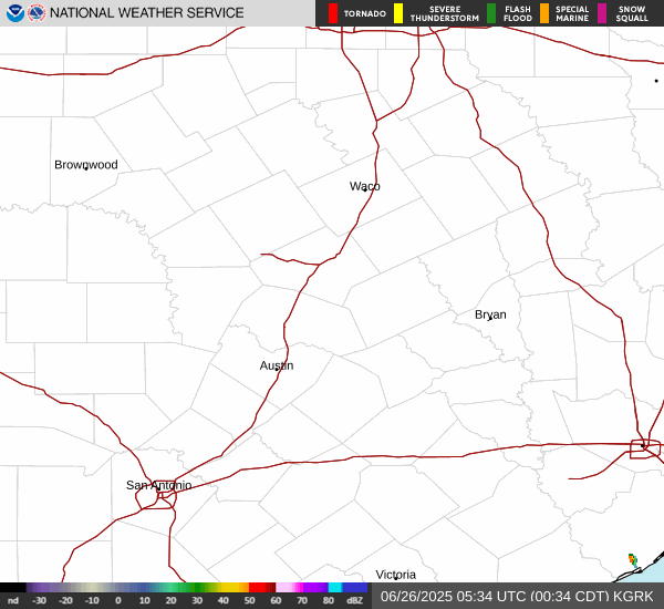
Pretty good chance the A&M game is going to be in a weather delay before kick off, those storms in central texas look to be holding together


Just picked up another .35”
Up to .88” now since Thursday.
Up to .88” now since Thursday.

On its way here. Better run to the grocery story now.
Looks iffy on a lightning delay for the Aggie game.
https://www.weatherbug.com/alerts/spark/
Looks iffy on a lightning delay for the Aggie game.
https://www.weatherbug.com/alerts/spark/
- Attachments
-

Looking good.
- Attachments
-
Brenham is getting pounded!
Just picked up a half inch in about 20 min with this first line. The second one looks like a winner for most. Hope it holds together, or even backfills lol

Nice line of storms moving into SE Texas this afternoon.

Special Weather Statement
National Weather Service Houston/Galveston TX
314 PM CDT Sat Sep 16 2023
Brazos TX-Washington TX-Grimes TX-Waller TX-Wharton TX-Colorado TX- Coastal Jackson TX-Inland Harris TX-Fort Bend TX-Montgomery TX-
...STRONG THUNDERSTORMS WILL IMPACT COLORADO...WHARTON...AUSTIN... JACKSON...SOUTHERN GRIMES...SOUTHEASTERN BRAZOS...EASTERN WASHINGTON...NORTHWESTERN FORT BEND...SOUTHWESTERN MONTGOMERY... WALLER AND NORTHWESTERN HARRIS COUNTIES THROUGH 345 PM CDT...
At 314 PM CDT, Doppler radar was tracking strong thunderstorms along a line extending from near Navasota to near Prairie View to near Eagle Lake to 8 miles northeast of Salem. Movement was southeast at 45 mph.
HAZARD...Wind gusts up to 40 mph.
SOURCE...Radar indicated.
IMPACT...Gusty winds could knock down tree limbs and blow around unsecured objects.
Locations impacted include... Northwestern Rosenberg, Katy, El Campo, Tomball, Wharton, Navasota, Sealy, Hempstead, Prairie View, Edna, Brookshire, Bellville, Columbus, Eagle Lake, Pinehurst, Washington, Hockley, Waller, East Bernard, and Ganado.
PRECAUTIONARY/PREPAREDNESS ACTIONS...
If outdoors, consider seeking shelter inside a building.
Frequent cloud to ground lightning is occurring with these storms. Lightning can strike 10 miles away from a thunderstorm. Seek a safe shelter inside a building or vehicle.
&&
Oh man, please hold together! Looks like I’m in a good spot for now!
Just some light rain here. The heavy stuff again is south of Hwy 1*5.
Guess I better be glad I got something yesterday. This one is splitting into two already. Unless it fills in, I'm getting dry slotted in the middle.

I can verify the warm sector. It was a soupy mess when I was outside mowing.
Special Weather Statement
National Weather Service Houston/Galveston TX
413 PM CDT Sat Sep 16 2023
...A STRONG THUNDERSTORM WILL IMPACT SOUTHERN MONTGOMERY AND NORTHEASTERN HARRIS COUNTIES THROUGH 445 PM CDT...
At 413 PM CDT, Doppler radar was tracking a strong thunderstorm near The Woodlands, moving southeast at 25 mph.
HAZARD...Wind gusts up to 40 mph.
SOURCE...Radar indicated.
IMPACT...Gusty winds could knock down tree limbs and blow around unsecured objects.
Locations impacted include... Southwestern Conroe, Humble, Tomball, Jersey Village, Pinehurst, Aldine, Kingwood, Spring Branch North, The Woodlands, Greater Greenspoint, Spring, Spring Branch West, northwestern Northside / Northline, Oak Ridge North, Shenandoah, Magnolia, Stagecoach, Woodloch, Bush Intercontinental Airport, and The Woodlands Pavillion.
PRECAUTIONARY/PREPAREDNESS ACTIONS...
If outdoors, consider seeking shelter inside a building.
Torrential rainfall is also occurring with this storm and may lead to localized flooding. Do not drive your vehicle through flooded roadways.
&&
This sucks! The heaviest rains missed me again. Just getting some moderate action, that’s it. The oranges and reds split up, with one area going north and east of me and the other to my southwest, leaving me with just some dark greens and a little yellow. Go freaking figure. Hopefully I can get at least another half inch cuz after this it looks to dry back out for the next week or two.