
I think 2007 was the wettest summer that I can recall.MontgomeryCoWx wrote: ↑Wed Jan 24, 2024 5:44 pmIf it rained every day in Summer I would be more tolerant of Summer.
January 2024
-
MontgomeryCoWx

- Posts: 2356
- Joined: Wed Dec 14, 2011 4:31 pm
- Location: Weimar, TX
- Contact:
Cpv17 wrote: ↑Wed Jan 24, 2024 6:08 pmI think 2007 was the wettest summer that I can recall.MontgomeryCoWx wrote: ↑Wed Jan 24, 2024 5:44 pmIf it rained every day in Summer I would be more tolerant of Summer.
Yes, my first Summer back in Texas. I was in grad school in Ohio ‘04-‘06 and got to experience some fun Winters and phenomenal Summers where it rarely got above 82.
That Summer spoiled me. The rest have sucked for the most part.
Team #NeverSummer
Loving this rain! Although I’d prefer this in the summer just like everyone else. It sucks when winter/spring is wet and all the trees and plants think water is abundant and they over sprout just to get stressed in the heat dome. /rant
Picked up 1.81” and counting here today. Let’s see what tonight brings!
Picked up 1.81” and counting here today. Let’s see what tonight brings!
Picked up another 2.56” today bringing my total up to 6.05”. Amazing!!
Anyone still in a "drought" around here?
-
MontgomeryCoWx
- Posts: 2356
- Joined: Wed Dec 14, 2011 4:31 pm
- Location: Weimar, TX
- Contact:

2.34” today
5.90” storm total so far, one more round to go.
5.90” storm total so far, one more round to go.
Looks like all this mess has blown east finally. Amazed the atmosphere is supposed to recharge enough in time for the overnight storm again.


I would not be surprised if there is more rain tonight.
https://forecast.weather.gov/product.ph ... glossary=1
https://forecast.weather.gov/product.ph ... glossary=1
Code: Select all
000
FXUS64 KHGX 242335
AFDHGX

Area Forecast Discussion
National Weather Service Houston/Galveston TX
535 PM CST Wed Jan 24 2024

...New AVIATION...

.SHORT TERM...
(This evening through Thursday Night)
Issued at 337 PM CST Wed Jan 24 2024

...Flood Watch remains in effect until noon Thursday...

Shallow frontal boundary from last nights activity pushed offshore,
however moist sw flow further aloft has allowed for persistent
stratiform rain today. Rain rates haven`t been impressive for the
most part yet, but at the same time it hasn`t allowed for any
improvement in the ongoing flooding across the region considering
the continued runoff. More than 4" rain has been observed north of
the US59-I69 corridor the past several days along with a swath of
6-13" from roughly Columbus-Trinity. Most guidance shows current
activity continuing into the early evening before possibly seeing
very brief lull.

However, we expect another round of storms overnight. Upper trof
axis extending from the Tx Panhandle into northern Mexico with a
distinct vort lobe noted in its base just west of the Big Bend
area. This will make eastward progress overnight. As it does so,
we`ll see increasing large scale lift and a developing surface coastal
trof/low along the remains of the shallow wind shift/front
offshore. Look for showers and thunderstorms to develop to our
west as this all comes together and track across the region in the
midnight-5am timeframe. Considering the robust lift, I wouldn`t
doubt if some of these embedded cells get on the stronger side.
Question is if any will be able to tap into the warm sector which
is currently fcst to remain just off the coast. This round should
be fairly progressive...but higher rain rates will be a concern
and what can heighten flash flood concerns. Think another 1-3",
with some locally higher amounts, aren`t out of the realm of
possibility overnight. Suspect the higher amounts will fall just
south of the most vulnerable Columbus-Trinity line, but even
lesser amounts will exacerbate conditions for anyone already
seeing ongoing flooding. Secondary concerns are small hail & winds.
If any stronger winds are able to mix to the surface, trees with
any leaves will be slightly more prone to fall at lower speeds
than they typically would. Again though, rain/flooding are the
primary concerns...and moreso near creeks, streams & rivers.

Drier, more stable conditions are expected for the remainder of
the day Thursday and Thursday night in the wake of this system. 47

&&
Summer of 2007 was post-El Nino becoming La Nina summer.Cpv17 wrote: ↑Wed Jan 24, 2024 6:08 pmI think 2007 was the wettest summer that I can recall.MontgomeryCoWx wrote: ↑Wed Jan 24, 2024 5:44 pmIf it rained every day in Summer I would be more tolerant of Summer.

After last summer, bring it!

Watching the Trinity River rising in Liberty. Projected major flood and projected cresting at 30.3’. The highest crest ever was 32.7’ from Harvey. Best friend is from there. Hoping there it homes don’t flood again.
The rain can stop.
-
Stratton20
- Posts: 4248
- Joined: Tue Feb 09, 2021 11:35 pm
- Location: College Station, Texas
- Contact:
Thank goodness for this being the last round of rain, fingers crossed the faucet shut stays off for a while,
The Brazos River at 59/69 is now projected to have its highest crest ever, even higher than Harvey. Scary stuff. Hope the rain ends soon.
Whoa! Harvey dumped 30 inches over a large area.
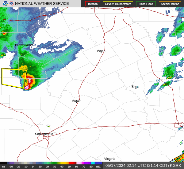
Damn, radar lighting up like a Christmas tree again!