
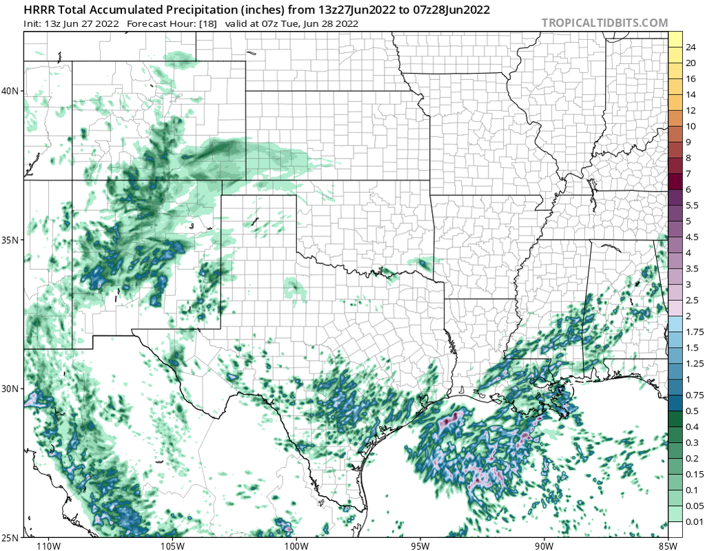
Can you post the HRRR for this afternoon/evening?
June 2022
-
djmike

- Posts: 1837
- Joined: Fri Jan 07, 2011 12:19 pm
- Location: BEAUMONT, TX
- Contact:
Mike
Beaumont, TX
(IH-10 & College Street)
Beaumont, TX
(IH-10 & College Street)
-
redneckweather
- Posts: 1058
- Joined: Mon Feb 08, 2010 7:29 pm
- Location: Montgomery, Texas
- Contact:
So much for a wet week....isolated to scattered type showers with a few rumbles of thunder. Consider yourself lucky if you have one sit on top of you. At least the temps will be down a little.
-
don

- Posts: 3100
- Joined: Wed Feb 03, 2010 3:33 pm
- Location: Wichita Falls
- Contact:
It was always suppose to be scattered storms.If you want widespread rain you'll have to wait to see how the tropical feature evolves later this week...redneckweather wrote: ↑Mon Jun 27, 2022 10:02 am So much for a wet week....isolated to scattered type showers with a few rumbles of thunder. Consider yourself lucky if you have one sit on top of you. At least the temps will be down a little.
-
don
- Posts: 3100
- Joined: Wed Feb 03, 2010 3:33 pm
- Location: Wichita Falls
- Contact:
12Z NAM with a Tropical Storm making landfall in Matagorda very similar to the 6Z EURO.Most of the mesoscale models I've seen so far this morning are coming in more aggressive with the storm.
- Attachments
-
-
-
don
- Posts: 3100
- Joined: Wed Feb 03, 2010 3:33 pm
- Location: Wichita Falls
- Contact:
The 12Z WRF models also came in more aggressive both show a moderate Tropical Storm now.
- Attachments
-
-
-
DoctorMu

- Posts: 7582
- Joined: Sun Jun 28, 2015 11:58 am
- Location: College Station
- Contact:
-
DoctorMu
- Posts: 7582
- Joined: Sun Jun 28, 2015 11:58 am
- Location: College Station
- Contact:
Most of the mesos have sparse rain over the next few days. This is about the most optimistic.

-
don
- Posts: 3100
- Joined: Wed Feb 03, 2010 3:33 pm
- Location: Wichita Falls
- Contact:
Makes since as the TC is absorbing all the moisture away.BTW there is a rapid increase in convection south of Louisiana this morning with a broad circulation forming.
-
Dls2010r
- Posts: 183
- Joined: Sat Dec 01, 2018 6:21 am
- Contact:
I’m in Santa Fe. The cloud cover is amazing.

-
mcheer23
- Global Moderator

- Posts: 596
- Joined: Fri Jan 11, 2013 11:15 am
- Location: Missouri City/ Sugar Land
- Contact:
Not sure why chances are still at 10/20. I have them at 30/50 right now.
-
Stratton20
- Posts: 5586
- Joined: Tue Feb 09, 2021 11:35 pm
- Location: College Station, Texas
- Contact:
mcheer23 they are pretty conservative, i would be shocked if they dont up the development odds at the 2 pm outlook
-
TexasBreeze
- Posts: 1016
- Joined: Sun Sep 26, 2010 4:46 pm
- Location: NW Houston, TX
- Contact:
-
don
- Posts: 3100
- Joined: Wed Feb 03, 2010 3:33 pm
- Location: Wichita Falls
- Contact:
Yes that's the area that will slowly move west over the next couple of days.TexasBreeze wrote: ↑Mon Jun 27, 2022 11:17 amIs that the area to watch? I noticed that a bit ago there
-
Stratton20
- Posts: 5586
- Joined: Tue Feb 09, 2021 11:35 pm
- Location: College Station, Texas
- Contact:
It definitely appears a broad circulation is attempting to form like Don said, interesting days ahead
-
captainbarbossa19

- Pro Met

- Posts: 455
- Joined: Mon Jun 28, 2021 2:50 pm
- Location: Beaumont, TX
- Contact:
They have the other wave east of 94L with identical chances over 5 days even though it has less model support. Real-time trends show increasing vorticity over the Gulf at 925 and 850mb. Imo, I agree the chances should be higher than 10/20 at this point.
-
mcheer23
- Global Moderator
- Posts: 596
- Joined: Fri Jan 11, 2013 11:15 am
- Location: Missouri City/ Sugar Land
- Contact:
New update...still 20 percent...
-
Kingwood32
- Posts: 31
- Joined: Sun Sep 28, 2014 2:58 pm
- Contact:
-
don
- Posts: 3100
- Joined: Wed Feb 03, 2010 3:33 pm
- Location: Wichita Falls
- Contact:
12Z Euro went back to showing a Tropical Low or Depression.
-
mcheer23
- Global Moderator
- Posts: 596
- Joined: Fri Jan 11, 2013 11:15 am
- Location: Missouri City/ Sugar Land
- Contact: