
I thought that was key to getting us cold???
January 2024
-
Harp1
- Posts: 38
- Joined: Tue Nov 28, 2023 10:53 pm
- Location: Southeast Louisiana
- Contact:
-
Stratton20
- Posts: 5587
- Joined: Tue Feb 09, 2021 11:35 pm
- Location: College Station, Texas
- Contact:
the EPO does look to go negative after the 12th, nothing too negative, but still should be sufficient enough, NAO and AO stay negative through at least mid january
-
jasons2k

- Posts: 6043
- Joined: Thu Feb 04, 2010 12:54 pm
- Location: Imperial Oaks
- Contact:
So far a moat of nothing between 59 and 105. Points south of 59 and up north and northwest of here got an early start…still waiting around here.
-
Ptarmigan

- Statistical Specialist

- Posts: 4427
- Joined: Wed Feb 03, 2010 7:20 pm
- Contact:
Houston Weather Bureau Office was in Downtown Houston.user:null wrote: ↑Mon Jan 01, 2024 11:11 am2023 was the first freeze-free calendar year at IAH (i.e. ever since opened for business in 1969). The official City of Houston records prior to that were taken at another site farther south (not sure if Downtown or Hobby airport, however).Ptarmigan wrote: ↑Mon Jan 01, 2024 9:37 amThe winter of 1930-1931 did not have freezing temperature. January 1930 had a low of 5°F. 1931 did not see freezing temperature. March 1932 had freezing temperatures and it snowed. 1931 and 2023 are years without freezing temperature recorded. Of course, data from the past should be taken with caution.
-
jasons2k
- Posts: 6043
- Joined: Thu Feb 04, 2010 12:54 pm
- Location: Imperial Oaks
- Contact:
Still a big gap off to the southwest - hope it fills in.
-
Cpv17
- Posts: 6790
- Joined: Fri Aug 31, 2018 1:58 pm
- Location: El Campo/Wharton
- Contact:
-EPO is the king of getting cold down here. Need strong ridging over Alaska and the far NW Territories and for that ridge to extend north into the Beaufort Sea.
-
Ptarmigan
- Statistical Specialist
- Posts: 4427
- Joined: Wed Feb 03, 2010 7:20 pm
- Contact:
-
Cpv17
- Posts: 6790
- Joined: Fri Aug 31, 2018 1:58 pm
- Location: El Campo/Wharton
- Contact:
-
Ptarmigan
- Statistical Specialist
- Posts: 4427
- Joined: Wed Feb 03, 2010 7:20 pm
- Contact:
So very true about the East Pacific Oscillation (EPO). I have seen many cold blasts due to negative EPO.

-
don

- Posts: 3100
- Joined: Wed Feb 03, 2010 3:33 pm
- Location: Wichita Falls
- Contact:
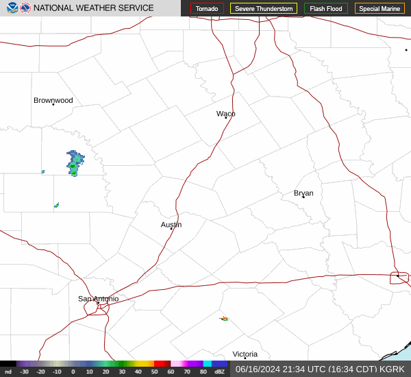
Storm #1 is here.


-
Stratton20
- Posts: 5587
- Joined: Tue Feb 09, 2021 11:35 pm
- Location: College Station, Texas
- Contact:
I completely forgot about this system to be honest, but got some good heavy rain, just keep it moving so that flooding risks stay low
-
don
- Posts: 3100
- Joined: Wed Feb 03, 2010 3:33 pm
- Location: Wichita Falls
- Contact:
You can see the surface low forming offshore Matagorda Bay, which is helping to enhance rainfall rates at the moment. No flooding expected though as this system is progressive. And rainfall rates are below flash flood criteria.

-
Stratton20
- Posts: 5587
- Joined: Tue Feb 09, 2021 11:35 pm
- Location: College Station, Texas
- Contact:
GFS and CMC coming in much colder, much stronger blocking signature
-
Harp1
- Posts: 38
- Joined: Tue Nov 28, 2023 10:53 pm
- Location: Southeast Louisiana
- Contact:
Well, finally huh?Stratton20 wrote: ↑Tue Jan 02, 2024 10:58 pm GFS and CMC coming in much colder, much stronger blocking signature
-
jasons2k
- Posts: 6043
- Joined: Thu Feb 04, 2010 12:54 pm
- Location: Imperial Oaks
- Contact:
Finally some steady rain here but only 0.24" so far. That dry wedge to the SW just doesn't want to completely fill-in.
-
don
- Posts: 3100
- Joined: Wed Feb 03, 2010 3:33 pm
- Location: Wichita Falls
- Contact:
FWIW the ICON digs Mondays storm way south. That's one heck of a storm.


-
Cromagnum
- Posts: 3016
- Joined: Thu Feb 03, 2011 10:42 pm
- Location: Georgetown
- Contact:
Monday might get kind of wild.
-
Cpv17
- Posts: 6790
- Joined: Fri Aug 31, 2018 1:58 pm
- Location: El Campo/Wharton
- Contact: